AgriCarbon
Monitoring and quantifying carbon sequestration in agricultural land using AI and remote sensing to preserve biodiversity
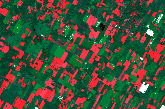
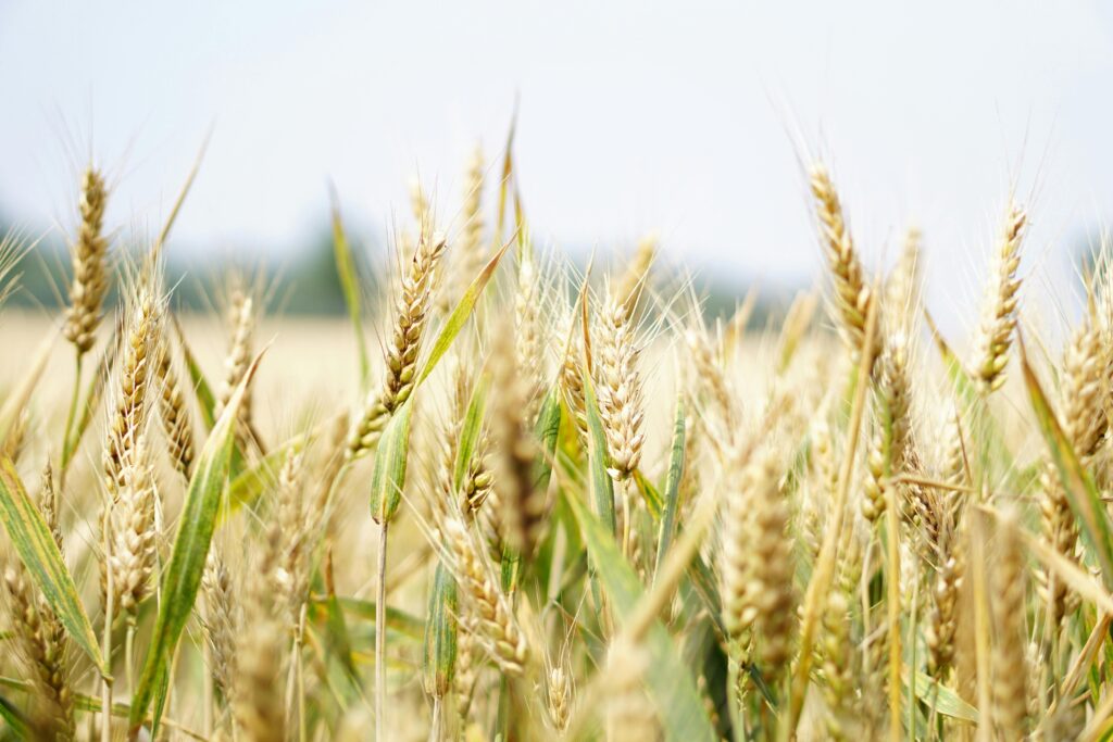
Agricultural ecosystems play a key role in carbon sequestration and biodiversity preservation. However, current methods for monitoring soil organic carbon are limited in spatial and temporal resolution.
Better quantification of these processes is essential to inform environmental policies, promote sustainable agricultural practices and contribute to global climate objectives.
Data Acquisition and Processing
AI Development
Dynamic Mapping
This innovative project uses artificial intelligence and satellite remote sensing to map and quantify carbon sequestration in agricultural land. By integrating multispectral, hyper-spectral, radar images and in situ data, our approach will enable us to assess the impact of agricultural practices on carbon storage and their contribution to biodiversity protection.
Let’s build a greener future together